A couple of month ago, when I was wasting time in the Knitty chatroom, Monkee showed off a map from this website. I don't remember which map she showed, but it was probably a map of some place in Texas. I started poking around on the website and found this map and immediately declared that I wanted it. I wasn't kidding either. I really did want the map. I even bookmarked the page so that I could order it at a later time.
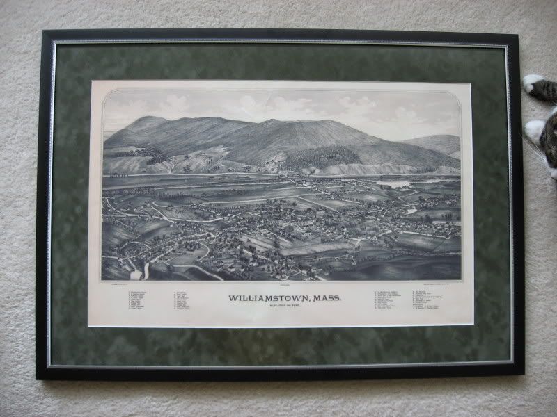
Imagine my shock and delight when Monkee and MonkeeMom gave me this as my birthday present:

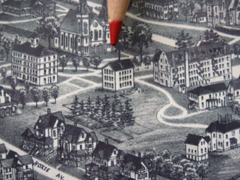
 Honestly, I was speechless. I immediately looked for some of my favorite buildings on campus. First, I found Dodd, my old dorm--still the Williams Inn at this point, of course. Then, I started searching for my home-away-from-dorm (Thomson Chemistry Lab) and found that it wasn't there! In the photo at right you can see the future home of the Science Quad. West College and Morgan are both clearly visible, but none of the other buildings are there. What's more, a strange building labeled "Kellogg Hall" (at the end of the pencil) is in the Quad. I was also surprised to find no trace of the Freshman Quad (is it called the First Year Quad now?). I guess I had thought that Williams and the Thompson buildings were older than Morgan. Now I know that I'm wrong.
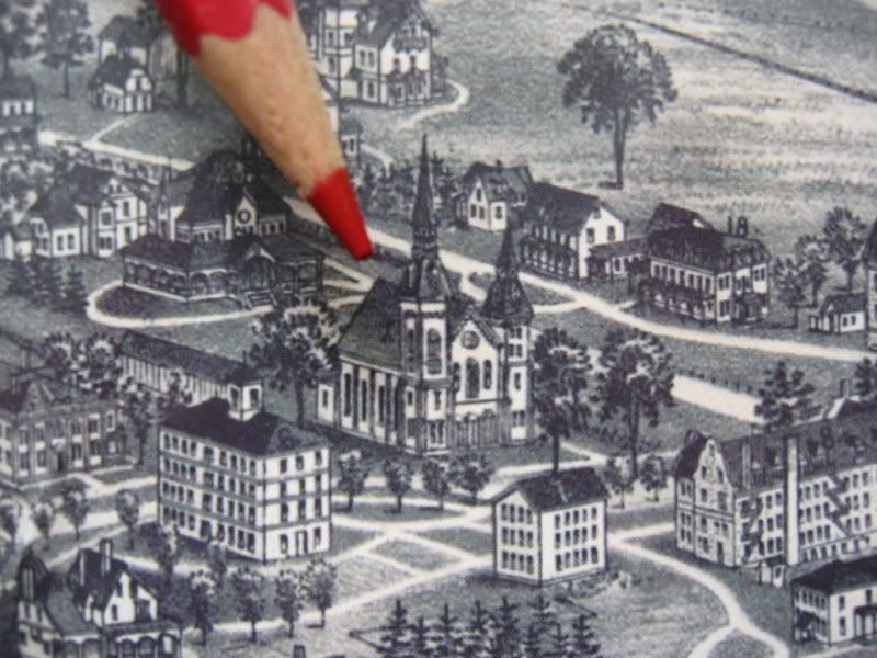
 Since receiving this wonderful gift, I have been comparing the 1889 map with the current map of the college. I sort of wish that I had my old 1988 map of the campus so that I could see how much had changed since my residence in Williamstown. Some interesting things I discovered: The Congregation Church (at right) looked very different from the beautiful church that I admired every day, large building called "The Graylock" is located at the future site of the Graylock Quad, and Mark Hopkins lived in an area near Mission Park--not in the current President's house. Also, the mountain that I know as Pine Cobble seems to be labeled Smedley's Height. Or maybe I'm not looking at the map properly and Pine Cobble is Hudson's Height. Either way, it has the wrong name.
This map will be displayed in a place of honor. I adore it.
...goofy Japanese stuff
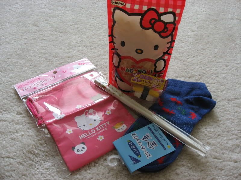
Not long ago, I stumbled upon JRS's blog while surfing around the internet. It was a case of good timing because the day that I found the blog was the same day that she was running a contest. The prize of that contest--goofy Japanese stuff. Now, everyone needs a little goofy Japanese stuff in their life, so I entered the contest. (How could I possibly survive without goofy Japanese stuff?) Apparently nearly everyone who entered the contest got the answer correct, so JRS decided to send all of us goofy Japanese stuff. That's the way to spread the love. Here is my little haul:

6 comments:
I'm glad you got the stuff!
Btw, the recipe is for dessert--boil the pasta, add dark honey and sugar--and cinnamon if you desire! Ick. The one above it that's cut off in the picture is for minestrone soup.
The rorschach-ish design is of giant goldfish (koi) and the ripples in the water. A very common summer motif.
Let me know if you're brave enough to make Hello Kitty Pasta Dessert!
That is so cool!! I'm confused by the orientation tho' -- where's Rt. 2? I mean, I thought 2 was a high-way-ization (how's that for not-a-word?) of the Mohawk Trail, which would've been there then.
Lucky you!
Ooh, that is cool! You may have just given me an idea for a gift for my husband--though the Urbana, IL map is not quite as pretty as yours. ;)
Thank you so much for that link! I just got my mother's bday present!!
That is an incredible map! What a kind and thoughtful gift.
Love that map. My old office at my job used to have a large map of the university from about 100 years ago and I used to marvel at how, for example, my sophomore year dorm was a swamp at that time.
By the way, I saw next to a 2002 Williams grad on the plane from London to Boston on Friday. She was very cool. I spent most of the time telling her how much cooler Brown is. :)
Post a Comment